| Sign In | Join Free | My frbiz.com |
|
| Sign In | Join Free | My frbiz.com |
|
| Categories | Airborne Mapping Payload |
|---|---|
| Brand Name: | Geosun |
| Model Number: | GS-100V UAV LiDAR Scanning System |
| Certification: | CE,ISO |
| Place of Origin: | China |
| MOQ: | 1 |
| Price: | Negotiation |
| Payment Terms: | T/T |
| Supply Ability: | 30 sets/month |
| Delivery Time: | 10-15 works days |
| Packaging Details: | Suit case 450*365*200 mm |
| Weight: | 1.4kg |
| Dimension: | 14.2*10.9*12cm |
| Storage: | 64GB Max Support 128GB TF card |
| Carrying Platform: | Vehicle/Multi-Rotor/VTOL |
| Company Info. |
| Wuhan Geosun Navigation Technology Co., Ltd. |
| Verified Supplier |
| View Contact Details |
| Product List |
Aerial Mapping GS-100V UAV LiDAR Scanning System 360 Degree Fov Laser Sensor Colored Point Cloud Free Software
Geosun gAirHawk LiDAR Scanning System GS-100V
gAirHawk GS-100V is a kind of short-range, compact LiDAR point cloud data acquisition system, integrated HESAI XT16 laser scanner, GNSS and IMU positioning and attitude determination system, and storage control unit, is able to real-time, dynamically, massively collect high-precision point cloud data and rich image information. It is widely used in the acquisition of 3D spatial information in surveying, electricity, forestry, agriculture, land planning. GS-100V LiDAR Scanning System Brochure.pdf
Specification of UAV LiDAR Scanning System gAirHawk GS-100V
| |||||||||||||||||||||||||||||||||||||||||||||||||||||||||||||||
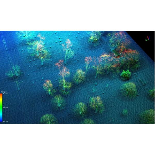
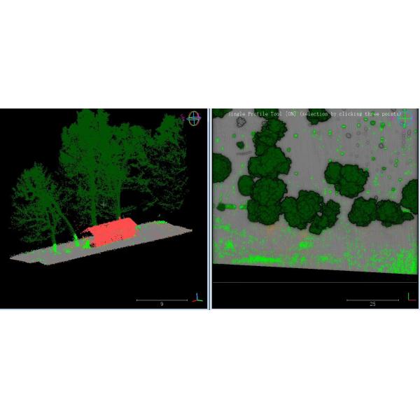
Application of UAV LiDAR Scanning System gAirHawk GS-100V
GS-100V LiDAR and GS-850 UAV in the United States, based on high-quality LAS data, using PCA4.2 software for point cloud post-processing, single wood segmentation, point cloud automatic classification, DEM production.


Free Trial Software UAV LiDAR Scanning System gAirHawk GS-100V
Free trial test, achieve high precision
The Guideline of LiDAR Usage and Reference.pdf
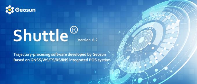
Point Cloud Pre-Processing Software Integrated With Trajectory
Processing----Geosun Self-developed gAirHawk 5.0
Key Features of gAirHawk 5.0 Software
1. Raw data: intelligently load
2. Four default coordinates
3. Point cloud Optimization
4. Start and stop calculation

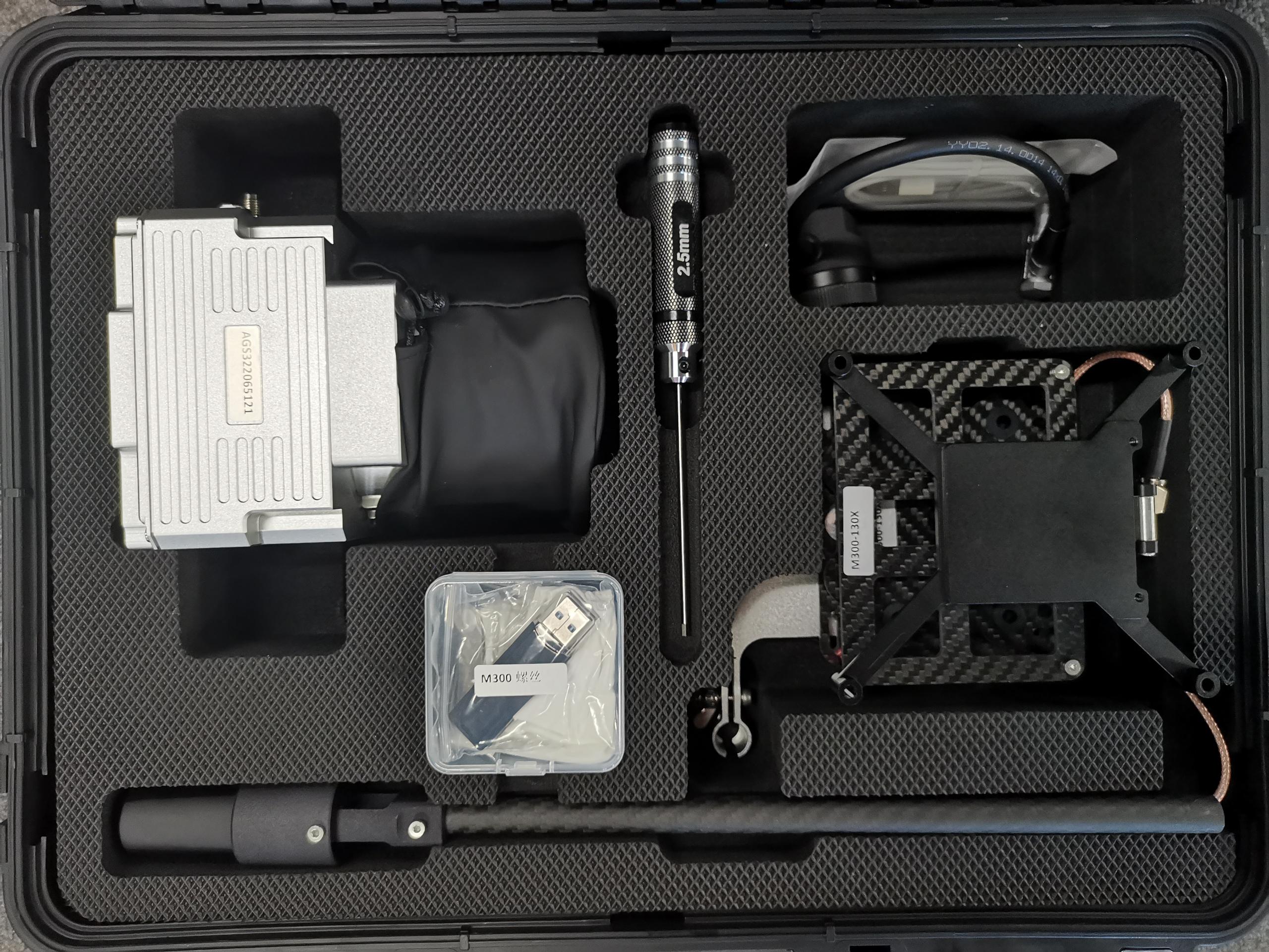
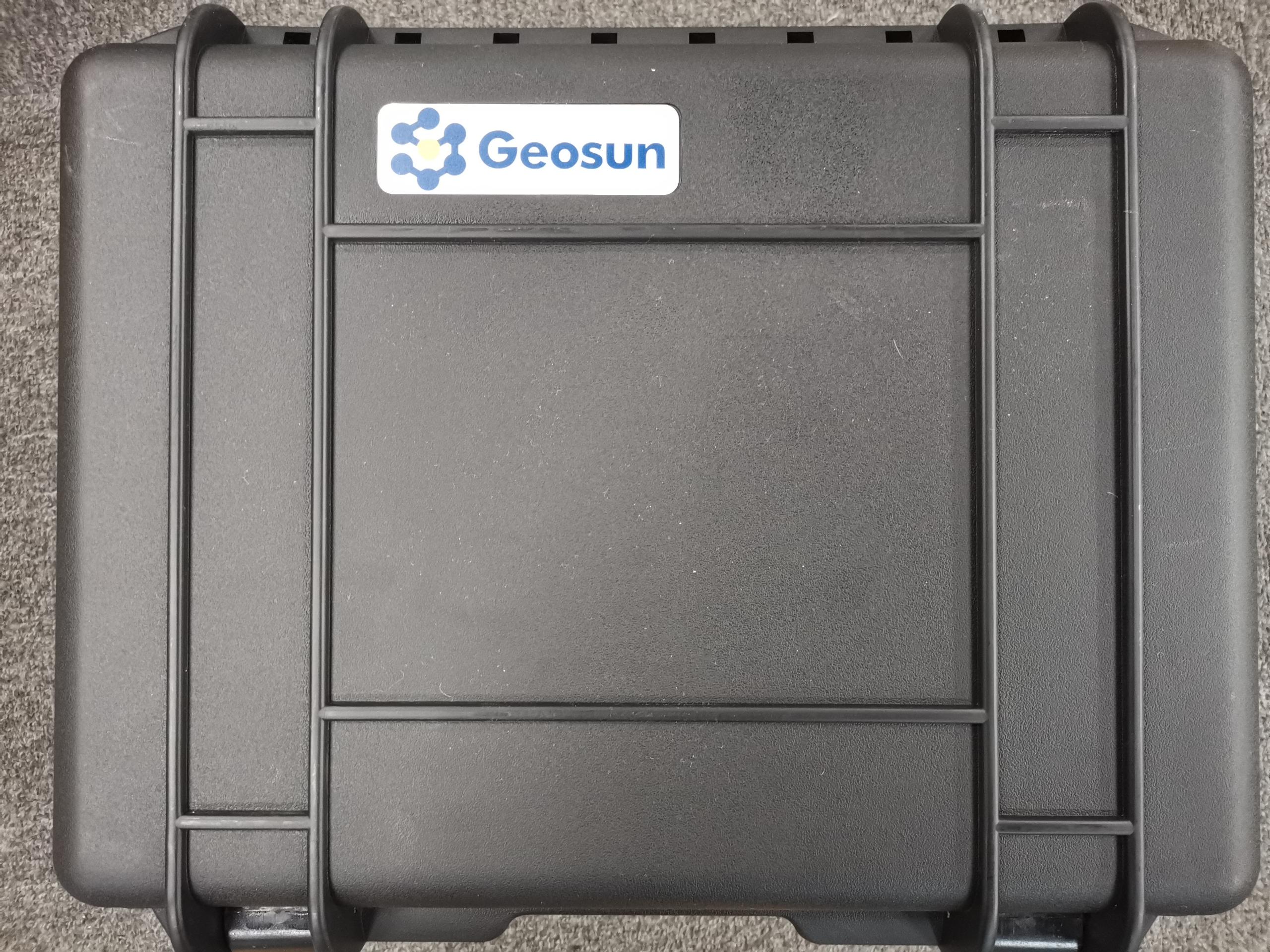
Package of UAV LiDAR Scanning System gAirHawk GS-100V
UAV LiDAR Scanning System gAirHawk GS-100V packed by suit case with EVA material liner inside, then covered by hard carton box. It is suitable for air shipment and sea shipment.

|
