| Sign In | Join Free | My frbiz.com |
|
| Sign In | Join Free | My frbiz.com |
|
| Categories | 3D LiDAR SLAM |
|---|---|
| Brand Name: | Hi-Cloud |
| Model Number: | Hi-SLAM 3D LiDAR SLAM |
| Certification: | ISO, others upon the requests |
| Place of Origin: | China |
| MOQ: | 1 |
| Price: | Negotiable |
| Payment Terms: | T/T |
| Supply Ability: | 20 sets/month |
| Delivery Time: | 20 working days |
| Packaging Details: | Transport Case |
| System Accuracy: | ≤10cm |
| Measurement Range: | 120m@20% |
| Scanning Point Frequency: | 300,000points/s |
| Panoramic Camera: | ≥12MP |
| Data Storage: | 512GB SSD |
| Weight: | <2.5KG |
| Company Info. |
| Wuhan Hi-Cloud Technology Co.,Ltd |
| Verified Supplier |
| View Contact Details |
| Product List |
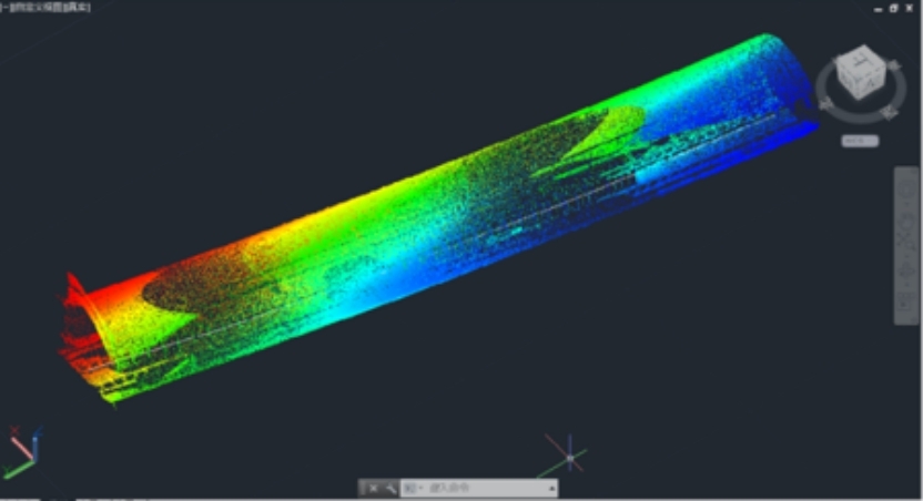
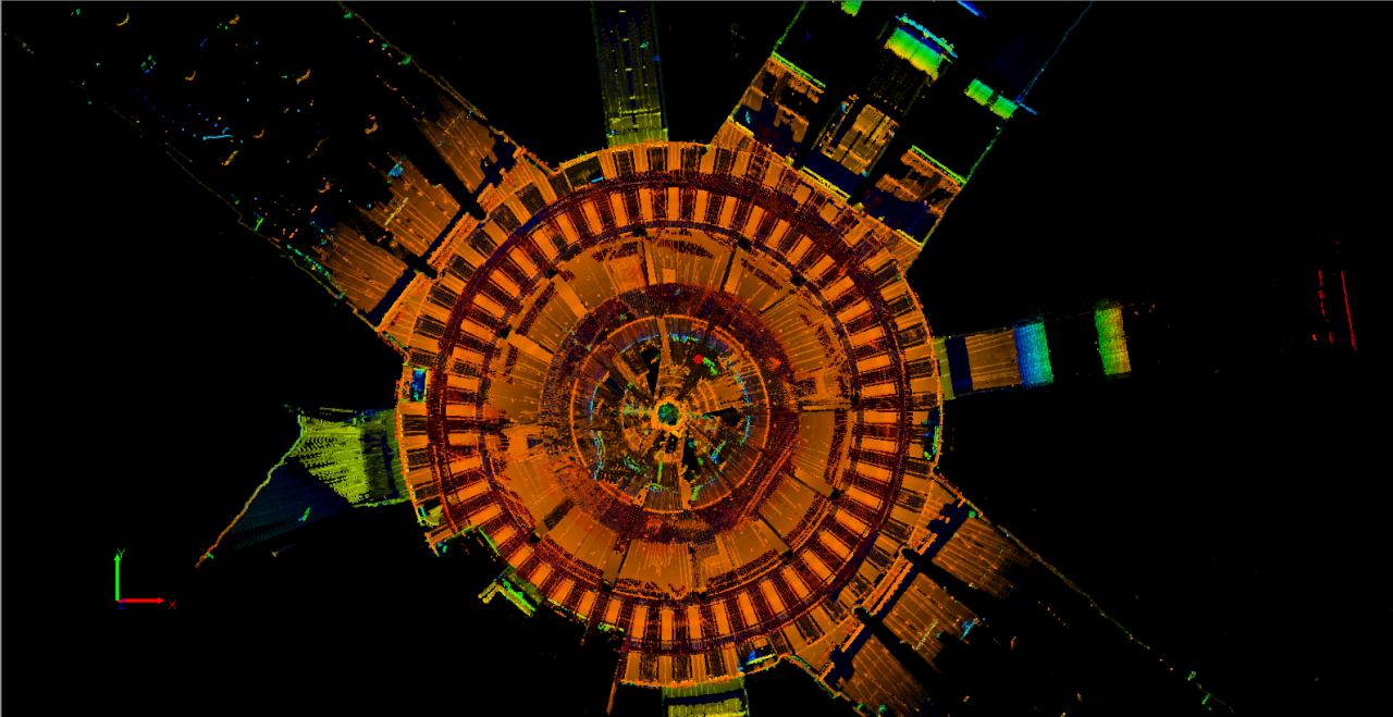
120m range 300,000points/s frequency Hi-SLAM 3D LiDAR SLAM accuracy ≤10cm and system weight less than 2.5kg
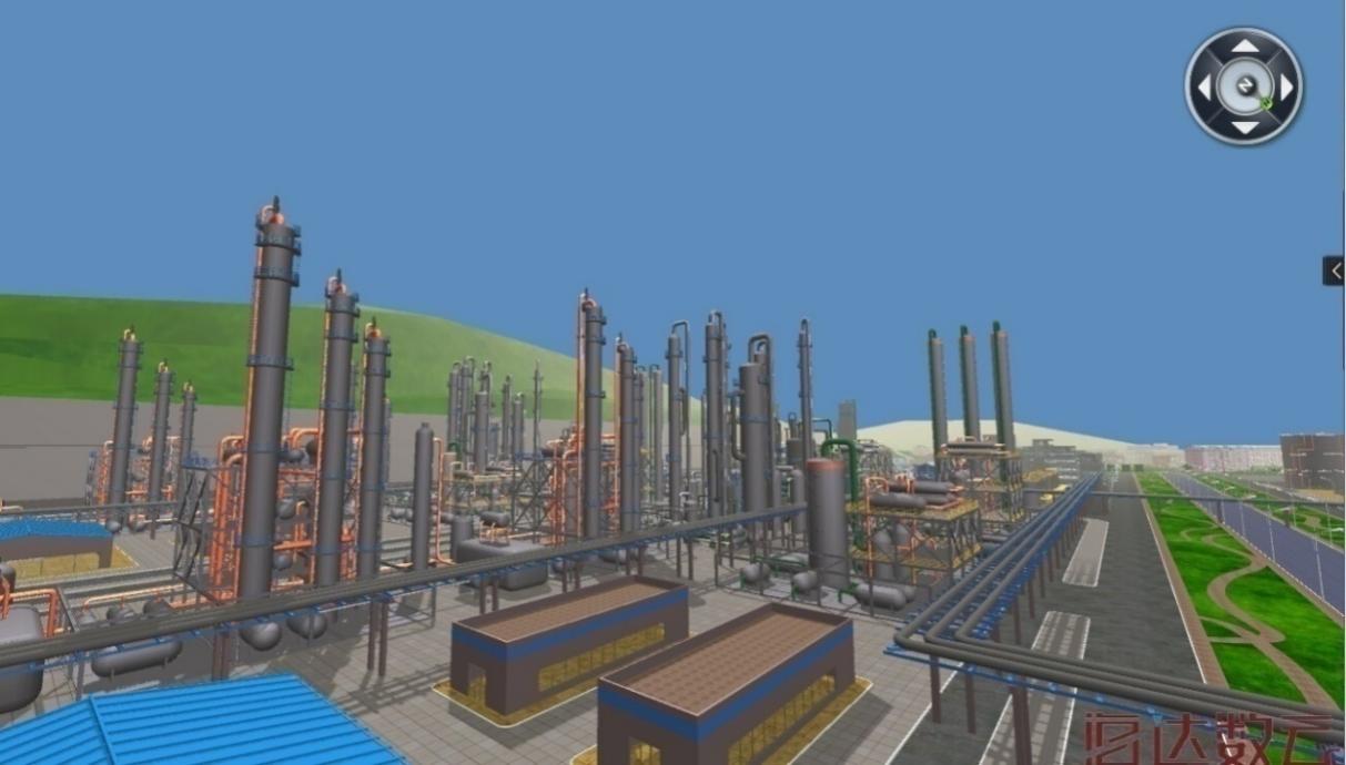
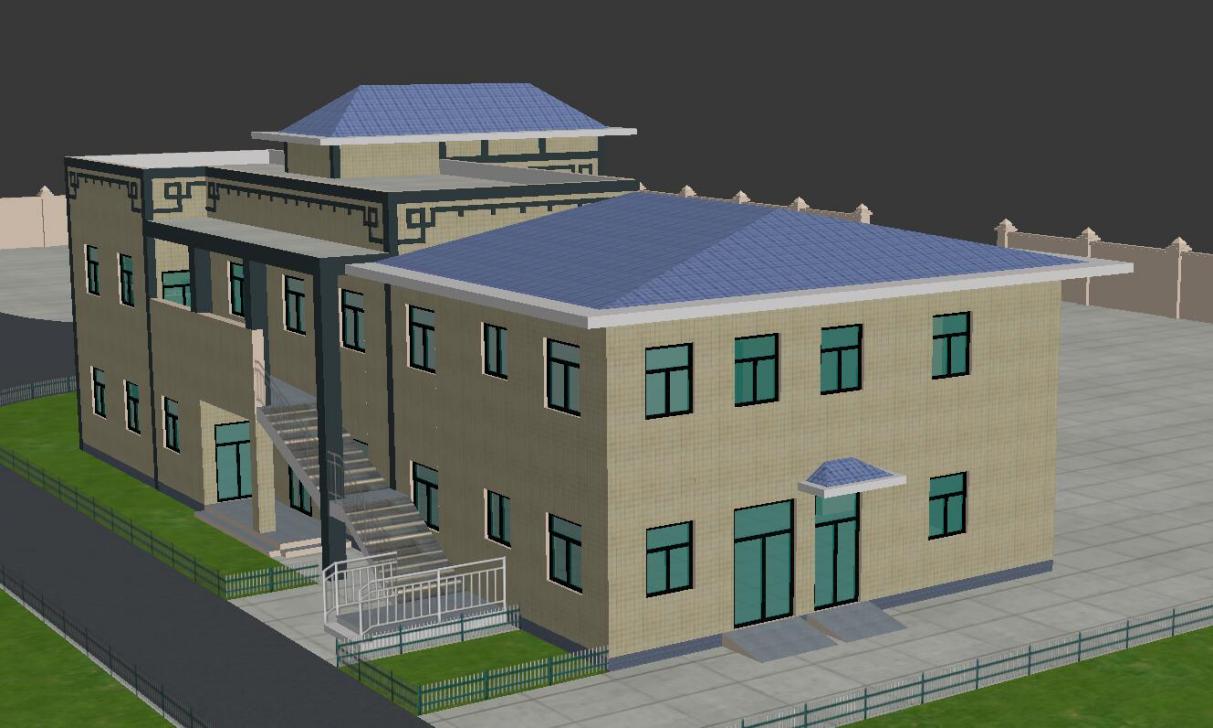
Hi-SLAM mobile measurement system is a new 3D mobile measurement system independently developed by Wuhan Hi-Cloud Technology Co.,Ltd.. The system adopts the world leading 3D SLAM mapping technology, perfectly obtains all the position information of adjacent space through dual axis rotation. It can obtain the high-precision and high-density 3D point cloud and panoramic image data quickly in a GPS signal free environment. Hi-SLAM system is highly integrated, easy to disassemble and has dual operation mode to adapt to a variety of complex operation scenarios. The overall operation is simple and the data acquisition efficiency if extremely high. Supporting the whole business process data processing software, it can provide a complete solution to meet the mapping requirements of various complex space fields such as architectural modeling, digital museum, digital factory, indoor mapping, tunnel engineering, airport, large shopping mall, subway underground space and so on.
Specification of Hi-SLAM System
| Items | Parameters |
| System Accuracy | ≤10cm(outdoor absolute accuracy) |
| ≤10cm(indoor relative accuracy) | |
| Measurement Range | 120m@20% |
| Scanning Point Frequency | 300,000points/s |
| Panoramic Camera | ≥12MP |
| Data Storage | 512GB SSD |
| Data Transmission | GigE/USB3.0 |
| Battery Life | ≥4h |
| Operation Temperature | -10-50℃,humidity < 85% |
| Weight | <2.5KG(handheld host) |
| Operation Mode | Handheld/Backpack |
Features of Hi-SLAM System
1. Integration: highly integrated, indoor and outdoor integration
2. Calibration free: calibration is independent of the carrier
3. High accuracy: high point cloud density, high point recognition rate, high measurement accuracy
4. High reliability: high degree of productization, stable and reliable system
5. High intelligence: seamless integration of point cloud an panorama
6. Easy installation: convenient installation, no need to modify the carrier
7. Easy transportation: small size, light weight, convenient transportation
8. Multi carrier: suitable for handheld and backpack mode
Application fields of Hi-SLAM System
Application of Underground Space
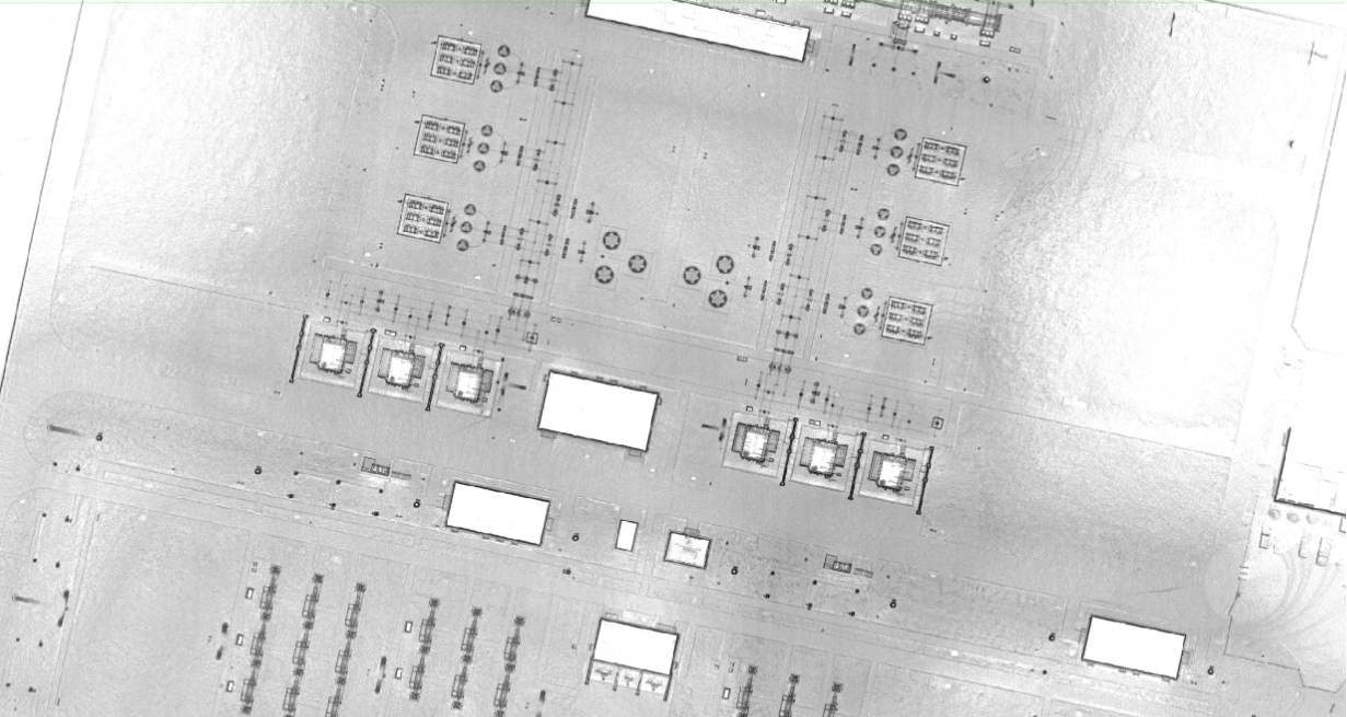
Application of Digital Factory
Application of Indoor Positioning

Application of Architecture Modeling
Application of Smart Power Grid
Tag:SLAM Mobile Measurement System, Portable Mobile Measurement System, Handheld and Backpack Mode Mobile Measurement System

|
